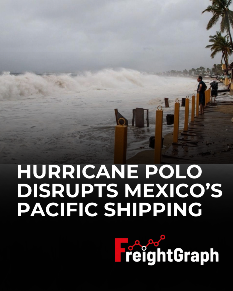
Hurricane Polo disrupted maritime operations along Mexico’s Pacific coast on September 23, prompting authorities to impose navigation restrictions at several ports as the powerful storm moved slowly offshore. Mexico’s Navy closed Acapulco and Zihuatanejo to all vessels, while restrictions were placed on smaller vessels at Manzanillo, Lázaro Cárdenas, Puerto Marqués and Puerto Escondido. At Manzanillo, however, the restrictions did not prevent larger commercial vessels from continuing to operate.
The disruption comes at two critical container gateways. Manzanillo and Lázaro Cárdenas handle significant volumes of Asian imports moving into Mexico’s manufacturing and consumer markets, making weather-related restrictions an important operational consideration for ocean freight and inland supply chains. As Polo moved northward offshore, its strong winds, heavy rainfall and high waves continued to create challenging maritime conditions along the southwestern Mexican coast.
For logistics operators, the situation highlights how quickly severe weather can change port conditions and create additional uncertainty across vessel operations and cargo flows. Monitoring port restrictions, vessel movements and changing operating conditions is therefore essential when planning freight through weather-sensitive trade lanes. For teams handling the documentation side of these operations, FreightGraph AutoFill can help convert freight documents into structured digital data, supporting more efficient document workflows alongside broader shipment planning.